Bypass & River Upgrades: Can Metro Manila Outrun Traffic?
Quick Take
- DPWH announced accelerated construction on a stalled elevated expressway section in Metro Manila in March while the Pasig-Marikina River Channel Improvement Project continued upgrading flood control infrastructure.
- Both projects aim to ease Metro Manila’s twin chronic pains: traffic gridlock and annual flooding.
- Whether the infrastructure can keep pace with climate reality and urban sprawl is the real test.
Government bets on bypass routes and river tech to solve what every commuter already knows is broken.
The Department of Public Works and Highways announced accelerated construction on a stalled elevated expressway section in Metro Manila in March, while engineers along the Pasig-Marikina river corridor continued upgrading flood control infrastructure designed to reduce risk for communities before floodwaters arrive.
The Twin Bet
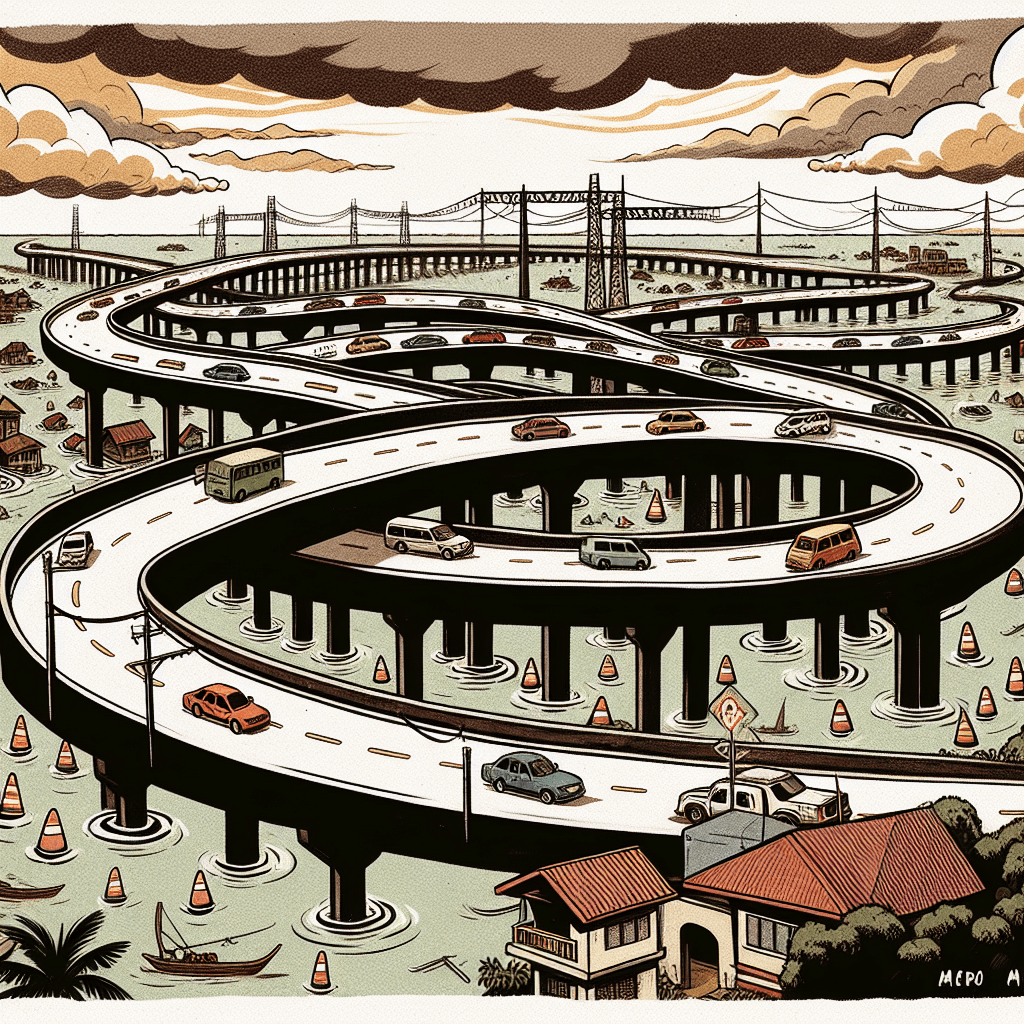
DPWH’s latest push on bypass infrastructure aims to pull traffic away from choke points that have strangled the capital for decades. The agency’s March announcement centered on fast-tracking the stalled 1.2-kilometer Metro Manila Skyway Stage 3 Project-Section 2A in Pandacan, Manila. Public Works Secretary Vince Dizon said the link, once completed, could help decongest roads below and cut travel time between Buendia and Port Area to about 25 minutes from around two hours. The pattern is familiar: new or upgraded routes meant to decongest main arteries that were never designed for this many vehicles, this many people, this much concrete pressing down on land that used to absorb rain.
Meanwhile, the Pasig-Marikina river project continued structural and non-structural flood control works under the DPWH’s Pasig-Marikina River Channel Improvement Project, which is meant to protect communities in Pasig, Quezon and Marikina cities, as well as Cainta and Taytay in Rizal. On paper, these measures can give barangays precious extra time to evacuate, to move belongings to second floors, to brace.
These are not small investments. Bypass roads require land acquisition, engineering studies, years of construction that snarl traffic before easing it. River monitoring systems need maintenance, trained personnel, reliable power and internet connections—infrastructure on top of infrastructure.
What Keeps Breaking the Promise
But Metro Manila has seen infrastructure promises before. Flood control projects that work beautifully until the next typhoon brings rainfall beyond design parameters. Bypass roads that ease congestion for two years, then fill with the same traffic they were built to avoid, because more roads invite more cars, and the city keeps sprawling outward with no corresponding investment in mass transit.
The Pasig-Marikina river system drains some of the most flood-prone areas in the capital. Marikina City, which sits in a natural catch basin, has weathered catastrophic floods in 2009, 2012, and 2020—each time with better early warning, yet each time with devastation. Technology helps, but it cannot solve the core problem: too much impermeable surface, too few places for water to go, too many informal settlers living in the path of the flood because nowhere else is affordable.
As for the bypass roads, they buy time. That is their honest function. They do not solve traffic; they redistribute it. And in a country where the total number of registered vehicles reached 14.27 million in 2023, up 2.5 percent from 2022 according to the Philippine Statistics Authority, redistribution is a temporary mercy, not a cure.
What This Means If You Live in the Flood Zone
If your barangay sits along the Pasig-Marikina corridor, the upgraded flood control system could give you more time to prepare when the next storm hits. That is not nothing. More time means the difference between saving appliances or losing them, between orderly evacuation and panic.
Still, the infrastructure cannot stop the flood. It can only reduce risk and improve warning and response. Which means the same families may still wade through the same chest-deep water, still lose the same days of work, still spend the same money replacing the same ruined belongings. The warning may be better; the outcome may still fall brutally short.
For commuters who will use these bypass routes once completed, expect relief for a few months, maybe a year after opening. Then watch as the detour becomes the main route, as apps reroute everyone to the same “secret” shortcut, as the cycle begins again. Kaya nga, infrastructure in Metro Manila is less about solving problems and more about managing the inevitable.
Editor’s Take
Government infrastructure projects in Metro Manila tend to address symptoms with admirable engineering and insufficient imagination. Bypass routes ease congestion until induced demand fills them back up. Flood control infrastructure can provide earlier warnings or better channel management for disasters we know are coming but refuse to prevent. Both are useful. Neither is enough. What’s missing is the harder work: land-use reform that stops building in flood plains, mass transit investment that makes car ownership less necessary, climate adaptation that treats typhoons as the new normal rather than exceptional events. Until those conversations move from technical papers to political will, we will keep building better tools to manage a crisis we could have avoided. The infrastructure will get smarter. The floods will keep coming.
Sources
Pasig-Marikina river project rolls out new tech to boost flood control — Inquirer
DPWH opens more bypass roads — Inquirer
Skyway Project 3 done by 2027 – DPWH — Philippine Star
DPWH Begins Final Phase Civil Works of Pasig-Marikina River Channel Improvement Project — Department of Public Works and Highways
Gasoline-powered Vehicles Increased by 2.5 Percent in 2023 — Philippine Statistics Authority